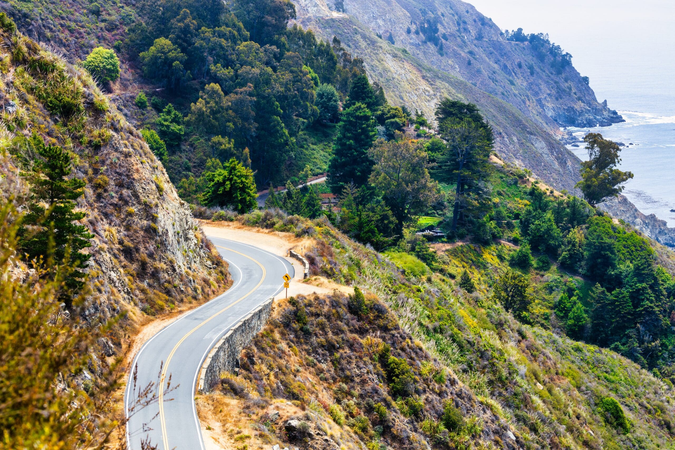
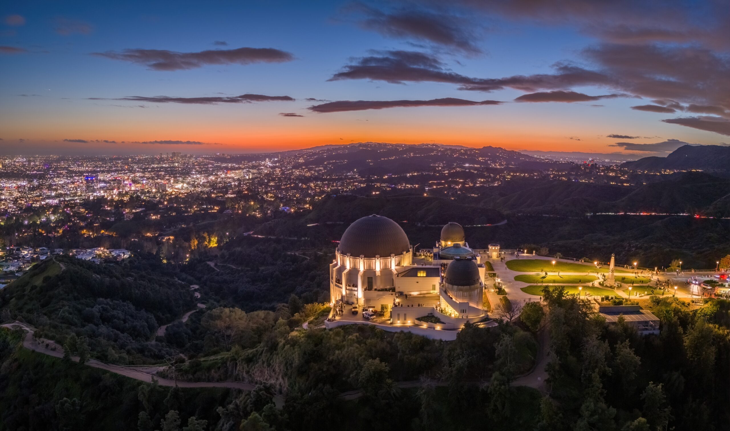
The PCH starts in Orange County, just a few miles south of Irvine and Long Beach, and runs all the way up to Mendocino County in the northern part of California. A Pacific Coast Highway road trip would be about 655 miles total, about three-quarters of the California coastline. When you reach the northern terminus of the PCH, you can continue to travel along the coast by taking Rt 101 north all the way up to the Canadian border, although the views on 101 aren’t quite as pretty. On the southern end, the PCH terminates by merging with I-5, which will take you down through San Diego and into Tijuana, Mexico.

The first section of the Pacific Coast Highway to be constructed was initially called the Rincon Sea Level Road and connected two cities in southern California – Ventura and Santa Barbara. The Rincon Sea Level Road was completed in 1913. Meanwhile, the state began work on Route 56, which was intended to run along the Big Sur coastline and connect it to the rest of the state. The highway was mostly built by convicts from Folsom Prison, who were paid 35 cents a day for their work. More sections were gradually added to Route 56, which absorbed the Rincon Sea Level Road and eventually stretched the full length of the modern PCH. In 1939, the road was renamed State Route 1, which remains the official name to this day. The “Pacific Coast Highway” nickname was made official in the 1960s, replacing other regional names like the Coastal Highway and Cabrillo Highway.
If you’re interested in learning more about the PCH, Action Tour Guide offers a Pacific Coast Highway Self-Guided Driving Tour. The tour will take you through the most famous section of the highway, connecting Los Angeles to San Francisco.
Essential Travel Guide:


